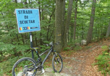
Un panorama “nebbioso” a volte può conferire ad un’uscita un valore diverso. Soprattutto tra le alture dell’Alto Verbano.
Parto da Verbania e da Renco comincio a costeggiare il torrente San Bernardino.
I start from Verbania and from Renco I begin to drive along the St. Bernardino Creek.
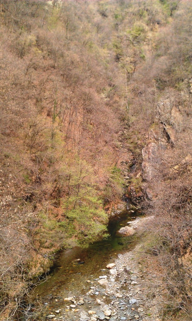
Quindi a Trobaso comincio a salire in direzione di Cambiasca. Qui imbocco la strada sterrata che mi porta fino a Ramello e da Ramello salgo verso la strada provinciale della Valle Intrasca. La percorro in direzione di Aurano. Ottimi scorci sul torrente San Giovanni.
Then in Trobaso I begin to climb towards Cambiasca. Here I take the dirt road that take me to Ramello and from Ramello I climb towards the provincial road of the Intrasca Valley. I travel it in direction of Aurano. Beautiful views on St. Giovanni Creek.
Dopo una lunga serie di tornanti in salita raggiungo Aurano, da dove si può ammirare uno splendido panorama sulla Valle Intrasca.
After many uphill bends I reach Aurano,from where I can admire a beautiful landscape on Intrasca Valley.
Da Aurano continuo a salire sempre su asfalto e dopo qualche strappo significativo raggiungo Alpe Segletta.
From Aurano I continue to climb always on asphalt and after some steep stretch I reach Alpe Segletta.
Il tempo non è dei migliori, ma regge. In prossimità delle ultime case lascio l’asfalto e prendo una strada sterrata che parte da una sbarra. Dopo un pò la strada diventa sentiero, sempre pedalabile, fino a raggiungere il fondo valle.
The weather is not very well, but doesn’t rain. Near latest houses I leave asphalt and take a dirt road that starts from a bar. After a few the roadbecomes trail, always pedaled, until it reach the valley bottom.
Noto con piacere la recente messa in sicurezza di alcuni punti esposti. Attraversato il ponticello comincio a salire e raggiungo un gruppo di baite a Corte dei Ratti. Attraverso le baite e riprendo il sentiero in salita che mi porta rapidamente a Calpera.
I note with pleasure the recent securing of some points raised. After crossing the bridge I begin to rise and reach a group of huts in Corte dei Ratti. I through the huts and resume the uphill trail that leads me quickly to Calpera.
Il percorso riprende su traccia larga. Una strada sterrata in salita che dopo una serie di tornanti mi fa raggiungere la strada asfaltata nei pressi di una sbarra. Volto a sinistra e raggiungo Alpe Colle.
The route continues on wide track. An uphill dirt road and after a series of bends it makes me reach the asphalt road near a bar. Face to the left and I reach Alpe Colle.
Prendo la strada sterrata a sinistra in direzione del Monte Zeda. Percorro, quindi, il versante sud del Monte Spalavera. Lungo il percorso alcuni residui di neve.
I take the dirt road to the left towards Mount Zeda. I drive, therefore, the south slope of Mount Spalavera. Along the way some residual snow.
Raggiungo il vecchio ospedaletto militare della Linea Cadorna.
I reach the old military hospice of Cadorna Line.
Quindi comincio a percorrere il versante sud del Monte Bavarione. Ben presto mi ritrovo immerso in una fitta nebbia.
So I start to drive the south slope of Mount Bavarione. Soon I find myself surrounded by a thick fog.
Quindi raggiungo il Passo Folungo. Qui la visibilità non è delle migliori giornate e neanche la temperatura.
So I reach Passo Folungo. Here the visibility is not the best days and even temperature.
Per il ritorno scelgo il versante nord dei monti che ho appena superato. Lungo il percorso alcuni tratti appena sistemati.
For the return trip I choose the north side of the mountains that I just passed. Along the way, some parts just settled.
Raggiungo Alpe Archia con il suo agriturismo.
I reach Alpe Archia with his farm.
Proseguo sempre sul percorso principale e ho modo di ammirare alcuni scorci panoramici.
I continue on the main path and I can admire some views.
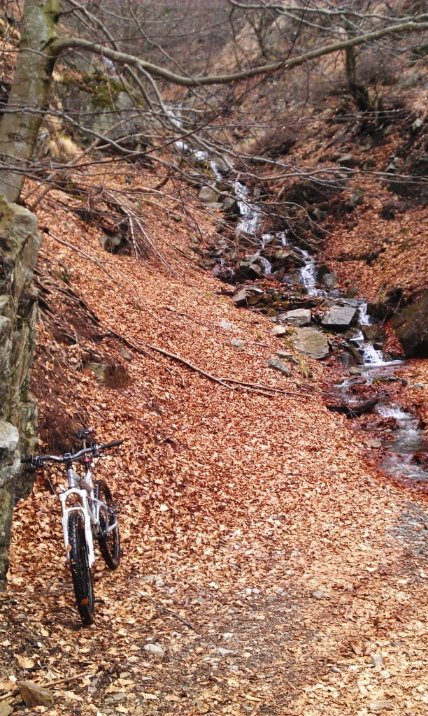
A Pian Puzzo, dopo una discesa il percorso comincia a salire, attraversando alcuni piccoli guadi.
In Pian Puzzo, after a descent the path starts to climb, crossing some little streams.
Dopo alcuni strappi dal fondo leggermente sconnesso raggiungo Pian d’Alpe.
After a few steep stretches slightly rough I reach Pian d’Alpe.
Volto a destra, continuando a costeggiare il Monte Spalavera e dopo una discesa finale raggiungo Alpe Colle. Breve pausa per rifornimento di acqua e poi prendo il sentiero accanto alla fontana, in direzione del Monte Morissolo. E’ un sentiero esposto ma abbastanza largo da non essere rischioso. Il sentiero termina all’imbocco di una larga e panoramica strada sterrata, ai piedi del Morissolo.
I turn on the right, continue to drive along the Mount Spalavera and after a final descent I reach Alpe Colle. Short break for water supply and then I take the trail beside the fountain in the direction of Mount Morissolo. It’s trail exposed but large enough to be not risky. The trail ends at the begin of a large scenic dirt road at the foot of the Morissolo.
Lungo la strada sterrata gli scorci panoramici sul Lago Maggiore si sprecano.
Along the dirt road the panoramic views of Lake Maggiore are wasted.
Raggiungo, quindi, il Centro Auxologico di Piancavallo. Prendo la strada asfaltata in discesa e nei pressi del bivio Premeno-Aurano ammiro ancora il panorama sul lago.
I reach, therefore, the Auxological Center of Piancavallo. I take the asphalt road down and near the junction Premeno-Aurano I still admire the view across the lake.
Quindi in rapida discesa su asfalto raggiungo Alpe Manegra e poi Luera. Da Luera si comincia a salire senza difficoltà e raggiungo Pian di Sole. Dopo le ultime case prendo il sentiero per Pollino nei pressi della via Manegra, dove, tra l’altro, ho un incontro ravvicinato ma indenne con un piccolo branco di cinghiali che mi attraversa il sentiero a pochi metri.
Raggiunta Pollino mi dirigo verso il ripetitore. Giù in ripida discesa, verso il laghetto delle streghe.
Then in rapid descent on asphalt I reach Alpe Manegra and then Luera. From Luera I begins to climb without difficulty and reach Pian di Sole. After the latest houses I take the trail to Pollino near the Via Manegra, where I have a close encounter unscathed but with a small herd of wild boars that cross the trail a few meters.
Reached Pollino I headed to the repeater. I go down steeply towards the lake of the witches.
Da qui inizia un divertente ed a tratti tecnico sentiero che percorre la cresta del Monte Cargiago, fino ad addentrarsi nel bosco e a raggiungere la strada sterrata che porta alla SS. Trinità di Ghiffa, nei pressi di una cappella votiva. Volto a destra per comodo sterrato a tratti panoramico e raggiungo Caronio.
From here begins a fun and sometimes technical trail that runs along the crest of Mount Cargiago, to go into the forest and reach the dirt road that leads to the SS. Trinity of Ghiffa, near a votive chapel. Face to the right for comfortable and scenic dirt road and I reach Caronio.
Da Caronio in discesa su asfalto verso Arizzano, dove prendo il sentiero per Vignone, attraversando il bosco di S. Martino. A Vignone breve tratto in asfalto fino a Bureglio e poi ancora un divertente sentiero.
From Caronio downhill on asphalt to Arizzano, where I take the trail to Vignone, through the woods of St. Martino. In Vignone short stretch of asphalt up to Bureglio and then a fun trail.
Raggiungo Ramello e rivedo il torrente San Giovanni.
I reach Ramello and I see the St. Giovanni Creek.
Riprendo la strada sterrata per Cambiasca, quindi in discesa verso Trobaso e poi a Verbania.
I take the dirt road to Cambiasca, then downhill to Trobaso and then in Verbania.
(km 68, dislivello totale in salita circa 1400 m)
(km 68, total climb uphill about 1400 m)


