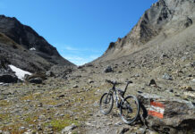
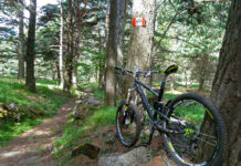
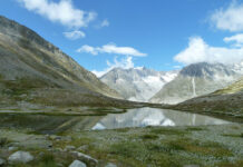
Il percorso di una delle edizioni che si sono svolte in passato della Granfondo del Mottarone, la gara che abbracciava i territori del Vergante.
Scarica la traccia qui (Si declina ogni responsabilità per conseguenze legate all’uso di questa traccia o delle informazioni presenti in questo articolo. Chi decide di affrontare il percorso si assume tutte le responsabilità per rischi e pericoli a cui si può andare incontro, considerando altresì che la percorribilità e lo stato delle strade e dei sentieri muta nel corso del tempo e che non sussiste alcun obbligo da parte di MTB-VCO.COM di mantenere aggiornate le informazioni)
Parto dal lungolago di Stresa e mi dirigo su asfalto verso Someraro. Comincio a salire ma la strada già offre un bel panorama.
A Someraro lascio l’asfalto e prendo il sentiero che mi condurrà all’Alpe La Cristina. All’alpe ancora una vista panoramica sul Lago Maggiore.
Ancora un tratto in asfalto e poi su strada sterrata, in direzione del Giardino Alpinia. Supero un altro paio di alpeggi e raggiungo la Fonte Vitaliana. Breve asfalto e poi di nuovo sterrato, in discesa fino a raggiungere un guado.
Da qui riprendo a salire su traccia più stretta e raggiungo l’asfalto. Breve tratto in salita e arrivo all’Alpe Calandro, punto di quota massima di questo itinerario. Da qui prendo il sentiero in discesa, passo per l’Alpe della Volpe e poi raggiungo un bellissimo sterrato panoramico.
Percorro un sentiero “toboga” molto divertente e poi mi ritrovo su un altopiano, anch’esso panoramico.
Riprendo a scendere, attraverso una fattoria e raggiungo la strada asfaltata nei pressi di Gignese. Attraverso la strada e prendo la strada sterrata che scala il Monte Scincina. Al culmine della salita inizio a scendere fino a raggiungere Alpe Canà. Da qui ancora in discesa verso Brovello. Nel centro storico prendo il sentiero che mi porta al vecchio ponte romano.
Riprendo a salire ed arrivo a Graglia Piana. Raggiungo, poi, Carpugnino e dopo l’imbocco dell’autostrada mi immetto su una strada sterrata in salita che valica Stropino. Rientro su asfalto e dirigendomi verso Calogna prendo un’altra strada sterrata che inizialmente sale verso il Monte del Falò e poi scende verso Calogna. All’ingresso del paese un bello scorcio sul Lago Maggiore.
Da Calogna prendo il sentiero che scende in direzione di Stresa. Un sentiero ben segnalato, a tratti panoramico.
Superato Brisino, raggiungo il centro storico di Stresa e, quindi, il lungolago spettacolare.


