Il Mottarone, il monte più alto del Vergante. In questo itinerario viene raggiunta la sua cima con poca fatica, grazie alla funivia, per poi tuffarsi in una lunga discesa verso Gravellona Toce.
..
..
Da Verbania mi dirigo per asfalto verso Fondotoce, dove dal ponticello in legno imbocco la bella strada sterrata della Riserva Naturale.
From Verbania I go by asphalt road towards Fondotoce, where from the wooden bridge I enter to the beautiful dirt road of the Natural Reserve.
Supero i campi di calcio e risalgo sulla strada statale. Quindi per ciclabile raggiungo Feriolo, con il suo bel lungolago.
I overcome the soccer fields and rise back on the road. So by byke path I reach Feriolo, with its beautiful lake front.
Percorro il lungolago e poi risalgo ancora sulla statale, dove faccio ancora un buon pezzo di ciclabile, a tratti panoramico.
I drive along the lake front and then rise back still on the road, where I still do a good piece of bike path, sometimes scenic.
Dopo il ponticello mi tocca immettermi nel traffico, percorro la statale, supero Baveno e poi raggiungo Stresa dove scendo verso la stazione della funivia. Da qui il “solito” stupendo panorama sulle isole Borromee.
After the bridge I have to log in to the traffic, I drive along the highway, overcome Baveno and Stresa where I go down towards the cableway station. From here the “usual” wonderful view of the Borromeo Islands.
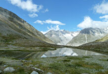
Prendo, quindi, la funivia e salgo fino all’ultima fermata: Mottarone! All’arrivo mi dirigo verso gli impianti di risalita. Da qui per breve ma ripidissimo sentiero raggiungo la vetta del Mottarone. Panorama a 360°.
I take, then, the cableway and go up to the last stop: Mottarone! Upon arrival I headed to the lifts. From here by short but steep trail I reach the summit of Mottarone. A 360° viewpoint.
Sosta contemplativa e poi giù verso il parcheggio, per prendere il sentiero che porta a Gravellona Toce. Inizialmente una strada sterrata panoramica.
Contemplative rest and then down to the car park, to take the trail that leads to Gravellona Toce. Initially a panoramic dirt road.
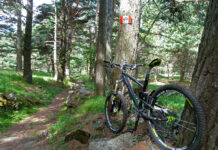
Poi sentiero, ancora panoramico.
Then trail, still panoramic.
Comincio a scendere con decisione, mi immergo nel bosco e raggiungo Alpe Nuovo. Con il suo splendido punto panoramico.
I start to go firmly down, I immerse myself in the woods and reach Alpe Nuovo. With its scenic viewpoint.
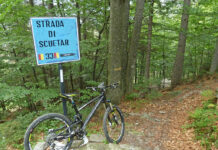
Continuo verso Gravellona Toce, il sentiero diventa meno pedalabile e dopo una ripida discesa raggiungo Alpe Colma, altro punto panoramico.
I continue towards Gravellona Toce, the trail becomes less pedaled and after a steep descent I reach Alpe Colma, another scenic point.
Continuo a scendere con decisione, comincio ad avvistare Gravellona Toce.
I still get firmly down, I begin to see Gravellona Toce.
Tratto finale su strada sterrata a tornanti e raggiungo Gravellona Toce. Da qui rapidamente verso Feriolo e, quindi, Verbania.
Final stretch of dirt road with hairpin bends and I reach Gravellona Toce. From here rapidly towards Feriolo and, therefore, Verbania.
(km 42, dislivello totale in salita circa 180 m)
(42 km, total climb uphill about 180 m)


